Baltimore Map
|
|
This Site:
|
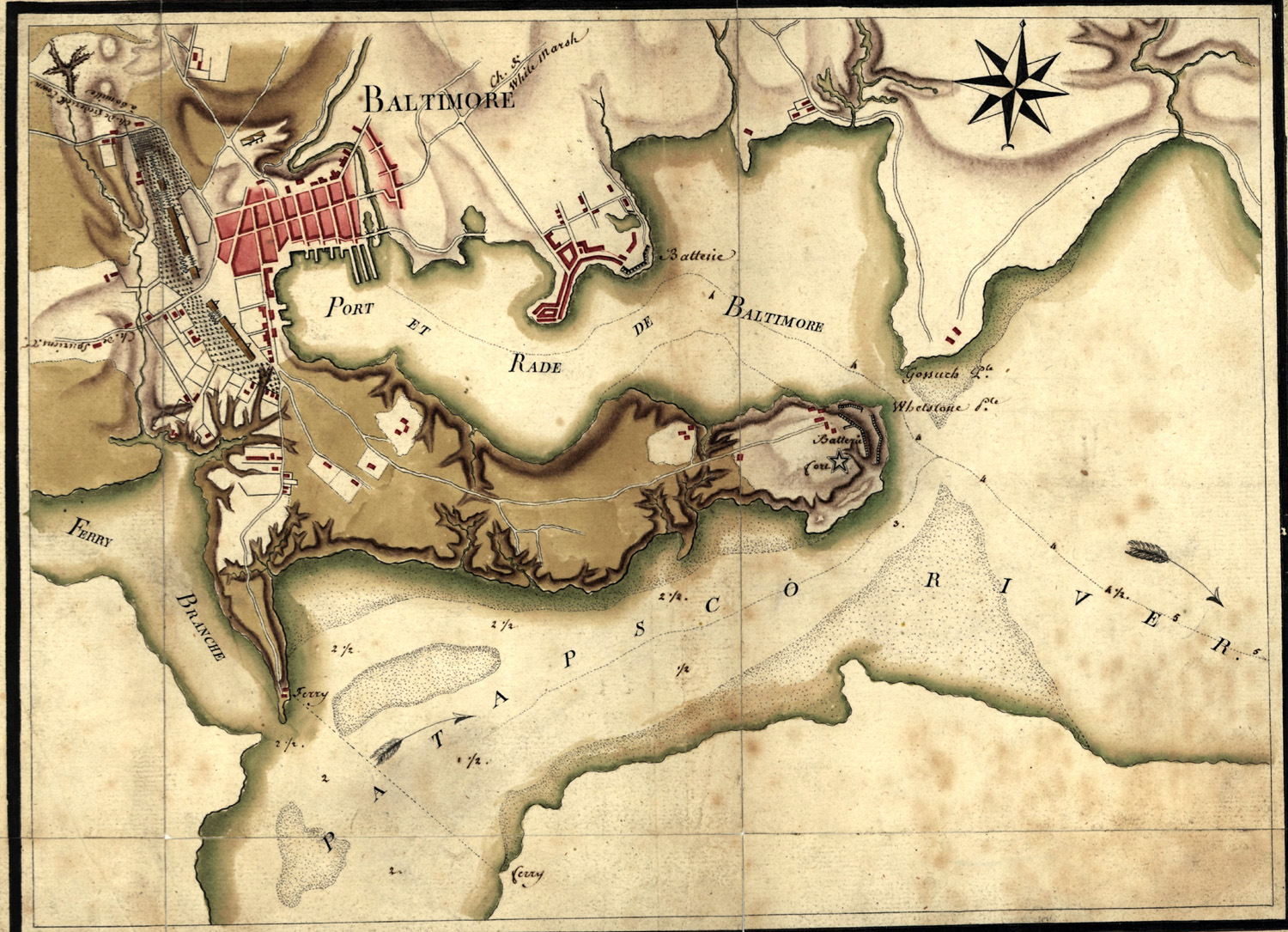
This is a nice map of the Baltimore Area during the Revolutionary War period. The map was created in 1781. The map shows fortifications, troop encampments, and roads from "White Marsh," "Frederick Town," and "Spuriens." |
|
|
||
|
|
Site Copyright 2003-2018 Son of the South. For Questions or comments about this collection, contact: paul@sonofthesouth.net |
|
|
Are you Scared and Confused? Read My Snake Story, a story of hope and encouragement, to help you face your fears. |
||