Map of the 13 Original States
|
|
This Site:
|
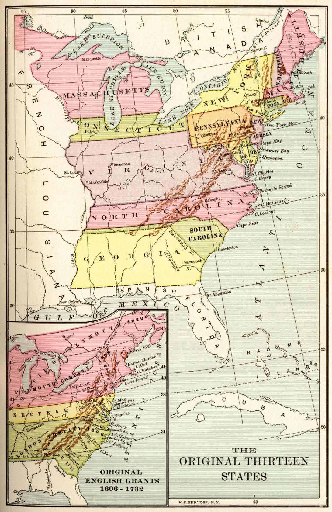
Map of the Original 13 StatesThis is a nice map of the original 13 states. It is a nice clear view of the territories of each of the colonies. In addition, it has an inset map showing the original English Grants, 1606 to 1732. The map is a nice educational resource, as it is simple and clear in its depiction of the boundaries of the colonies and grants. |
|
|
||
|
|
Site Copyright 2003-2018 Son of the South. For Questions or comments about this collection, contact: paul@sonofthesouth.net |
|
|
Are you Scared and Confused? Read My Snake Story, a story of hope and encouragement, to help you face your fears. |
||