Civil War Map
|
|
This Site:
|
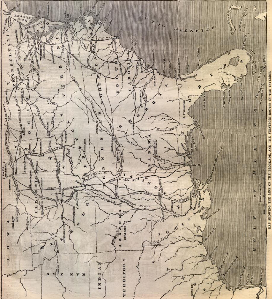
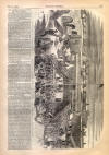
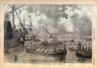
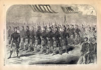
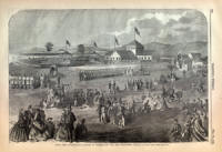
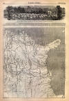
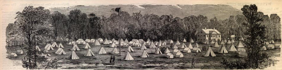
HARPER'S WEEKLY. [MAY 25, 1861 332 CAMP OF UNITED STATES VOLUNTEERS AT THE RELAY HOUSE,-[PHOTOGRAPHED BY WEAVER.] ANOTHER WAR MAP.BELOW we publish another of the series of WAR Maps which have constituted so prominent a feature in Harper's Weekly during the past few months. This one will be found especially valuable for reference. It shows the whole coast-line of the United States from Cape Henry to the Rio Grande, and the ports to be blockaded by our vessels of war; also the strategic points round Washington and Baltimore; Cairo, its strategic relations, and the course of the Mississippi ; Fortress Monroe, at the mouth of the Chesapeake, Forts Taylor and Jefferson, at the Tortugas, and Fort Pickens, Pensacola, all held by the United States ; the great lines of railway by which troops will be transported, etc.
 |
||||||||||||||||||||||||

|
|
||
|
|
Site Copyright 2003-2018 Son of the South. For Questions or comments about this collection, contact: paul@sonofthesouth.net |
|
|
Are you Scared and Confused? Read My Snake Story, a story of hope and encouragement, to help you face your fears. |
||